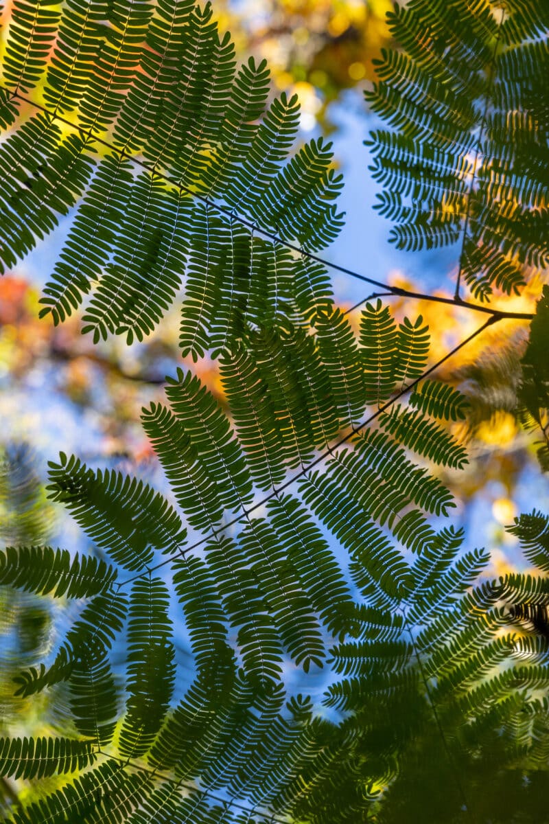
Why do we study natural areas?
Through our research projects and partnerships, the Natural Areas Conservancy is gaining a better understanding of the value of urban natural areas, both in New York City and nationwide. We’re developing resources and tools that help advance the planning, restoration, and conservation of natural areas now and into the future.
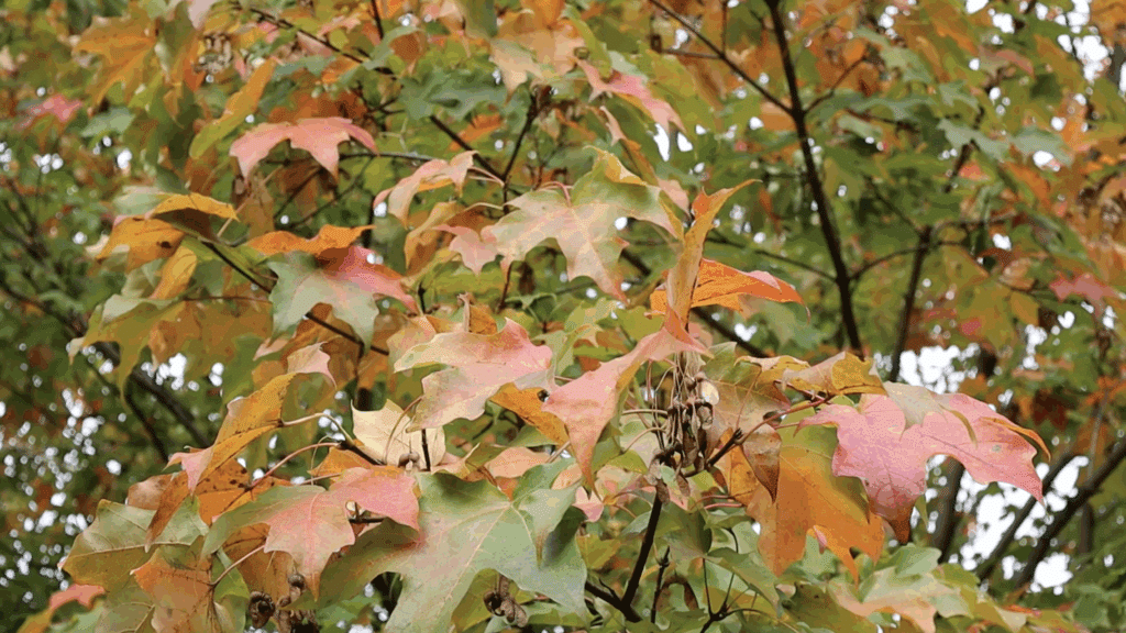
From the cooling effects of trees to funding trends for natural areas, our research digs deep into the economic, public health, and other benefits of forests, wetlands, and grasslands. Our goal is to fill gaps in scientific knowledge about these critical areas, improve their care, and make the case for preserving them.
See Our ResearchWhat we study
-
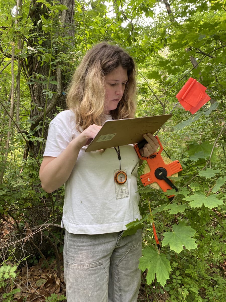
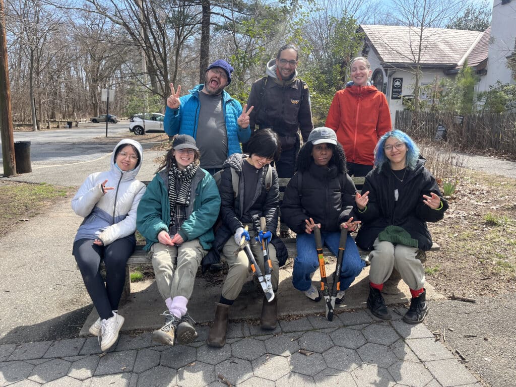
 People
 -
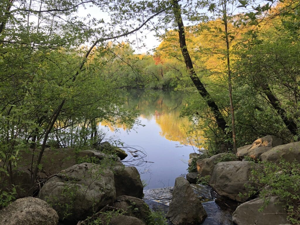
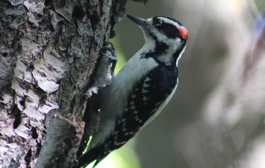
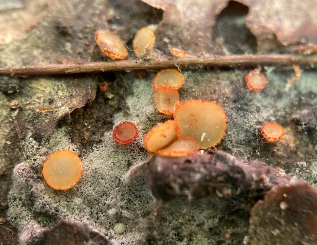
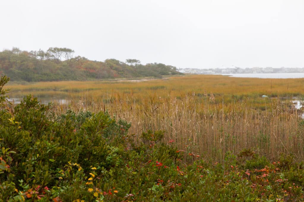
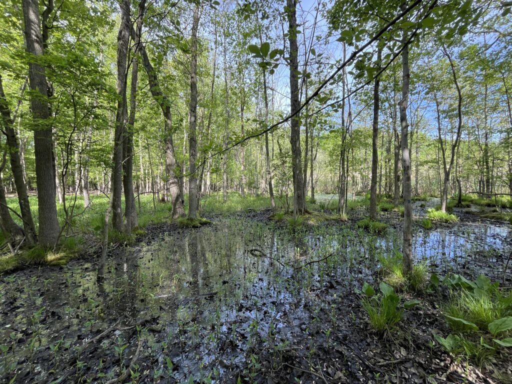
 Biodiversity
 -
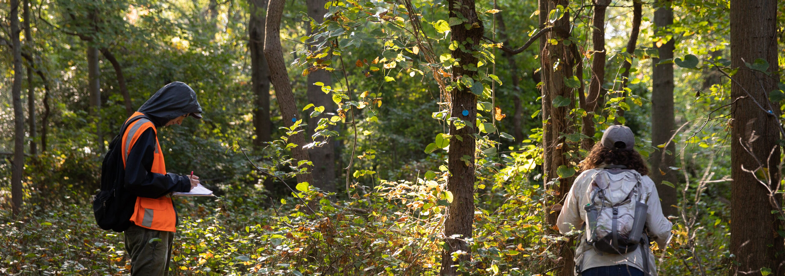
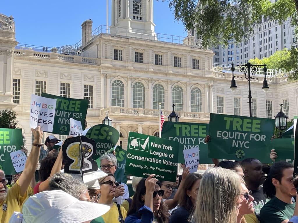
 Governance
Recent publications
View all publications-
Climate July 28, 2025 Reducing Runoff: The Role of Urban Natural Areas in Stormwater Management
Urban stormwater management is a growing challenge in the face of climate change, especially in cities like New York with aging gray infrastructure and increasing impervious surfaces. This report, “Reducing Runoff: The Role of Urban Natural Areas in Stormwater Management,” presents a comprehensive analysis of how urban natural areas, including ...
-
May 20, 2025 The Role of Local Government in the Care of Urban Forested Natural Areas
Urban natural areas are crucial for enhancing city livability and environmental health but are often overlooked, underfunded, and missing formal protection, which leads to loss of ecological benefits, missed opportunities for community engagement and nature access, and overall loss of natural areas. Governance structures for urban forested natur...
-
November 04, 2024 Wetlands Mitigation Banking in New York City: Challenges and Opportunities
In New York City, tidal wetlands are a critical part of coastal resiliency and provide numerous ecological and social benefits. State and federal wetlands mitigation regulations require that development resulting in wetland impacts offset those losses through wetland creation, restoration, and enhancement – with a ...
More about our recent work
NYC’s Forests, 10 Years Later: 4 Early Takeaways from Our Second Forest Assessment
How are NYC forests doing? The results from our second citywide Ecological Assessment (EA 2.0) are in! While analysis is ongoing, initial findings reveal a complex picture. On one hand, our large, native overs...
Read more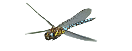
Our partners in environmental research
Recent collaborative work
-
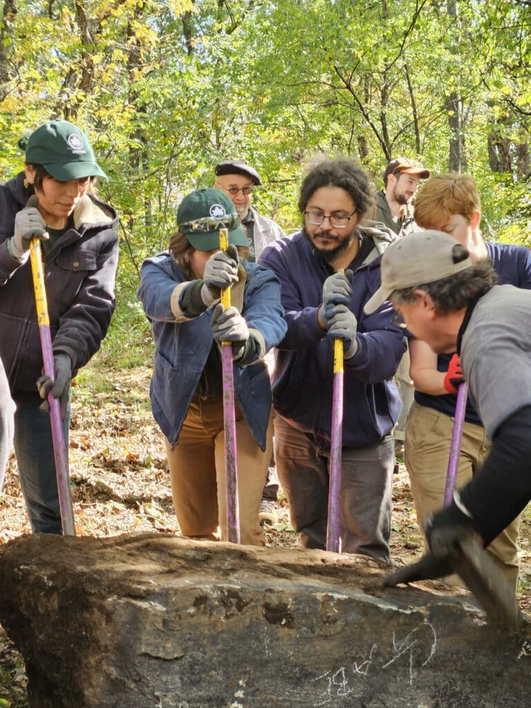
The Environment and Planning division at NYC Department of Parks & Recreation manages 12,000 acres of natural areas and is a foundational partner on many projects.
-
Yale School of the Environment is a key academic collaborator on environmental data analysis and mapping projects.
-
The City University of New York (CUNY) is the primary academic partner for our internship program, which recruits CUNY students to participate in our many research projects year-round.
-
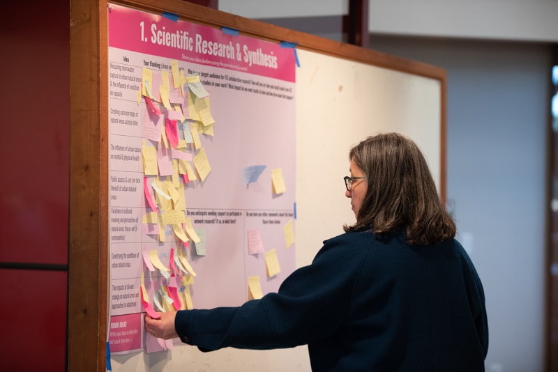
Our 26-city Forest in Cities network comes together continuously, sharing first-hand urban forestry experience, contributing data and research, and developing a community of practice.
-
We work closely with local nonprofits like the Central Park Conservancy, Prospect Park Alliance, Riverside Park Conservancy, Forest Park Trust, Van Cortlandt Park Alliance, and Seton Falls Preservation Coalition, among others.
From joint research projects to public programming, the NAC strives to work closely with these partners as well as other organizations focused on the preservation and management of natural areas.
-
Explore our data sets
We're helping to ensure that researchers and practitioners have the information they need to make informed decisions about the care of natural areas.
Discover More -
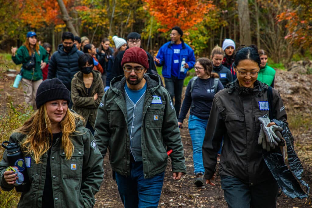
Start your career here
The NAC has seasonal and year-round internship opportunities that support both our independent and collaborative research and data analysis efforts.
See Opportunities
Support our research by giving today
Make a Contribution