A New Ecological Assessment is Underway. What Does That Mean for NYC’s Natural Areas?
By Natural Areas Conservancy on August 02, 2024
By Natural Areas Conservancy on August 02, 2024

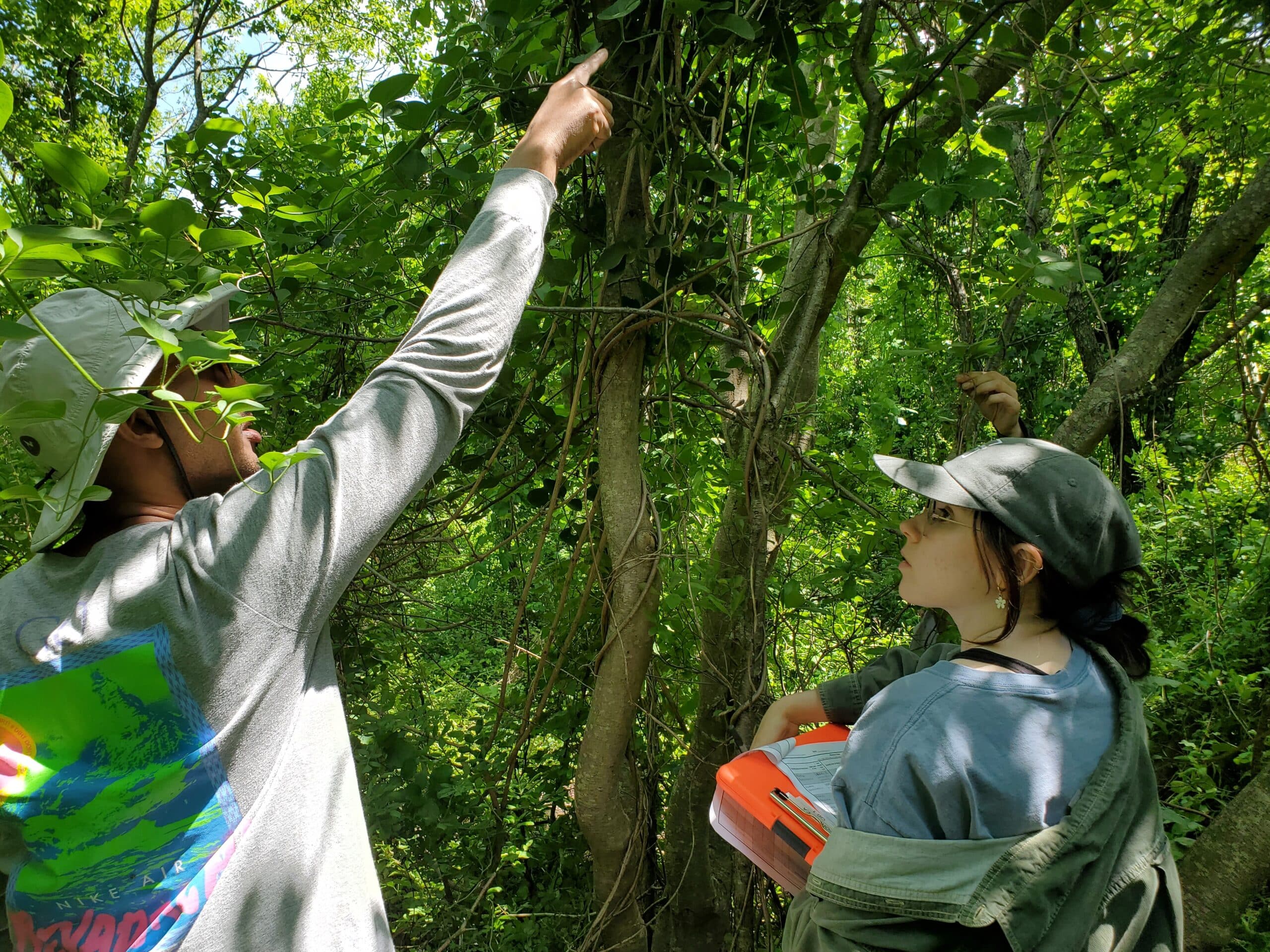
Together with NYC Parks, the Natural Areas Conservancy is conducting a second Ecological Assessment (EA), to refresh the data on the health and extent of forests and wetlands that we collected a decade ago.
The assessment will focus on three ecosystem types— forests, freshwater wetlands, and salt marshes.
Once data collection is complete, the NAC and NYC Parks will conduct thorough quality control, then analyze the data for all three resources.
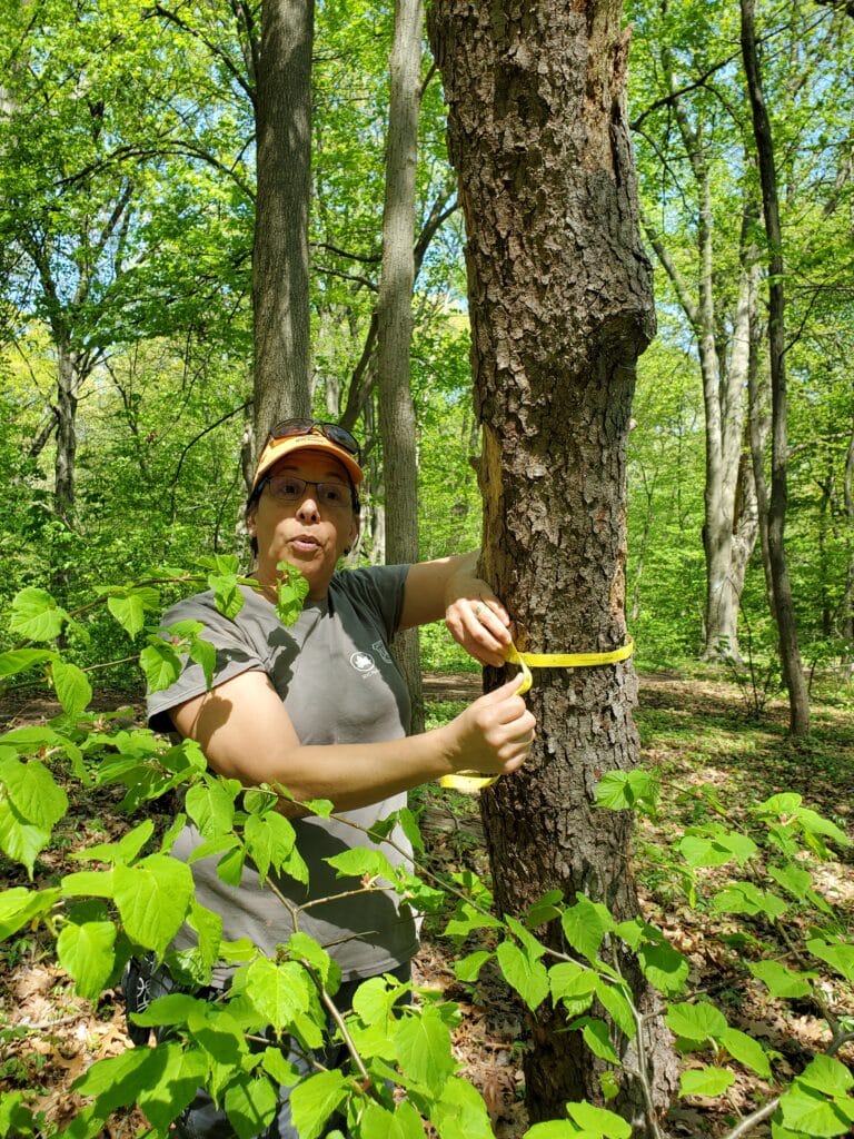
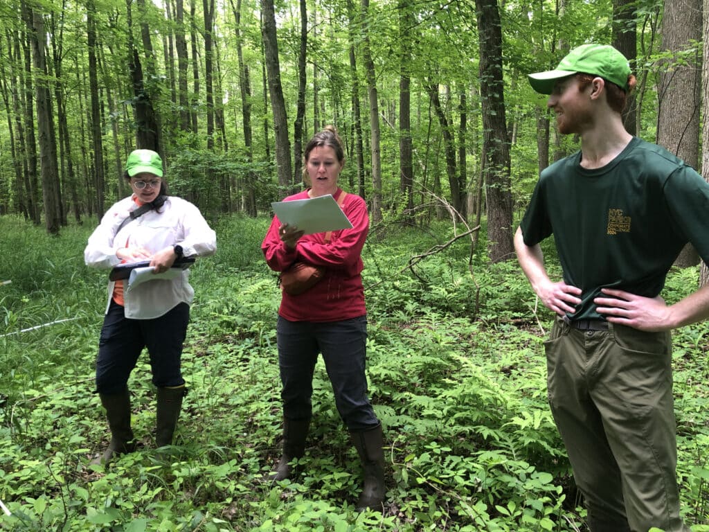
There are various processes and tools the EA crews use to collect data, and it can vary between each ecosystem type. The forest assessment is incredibly far-reaching—spanning 8,200 acres of natural areas, and 481 circular plot locations where data is collected. Specifically, we are measuring species abundance in the overstory, midstory, and understory; down woody material; and conditions on the forest floor.
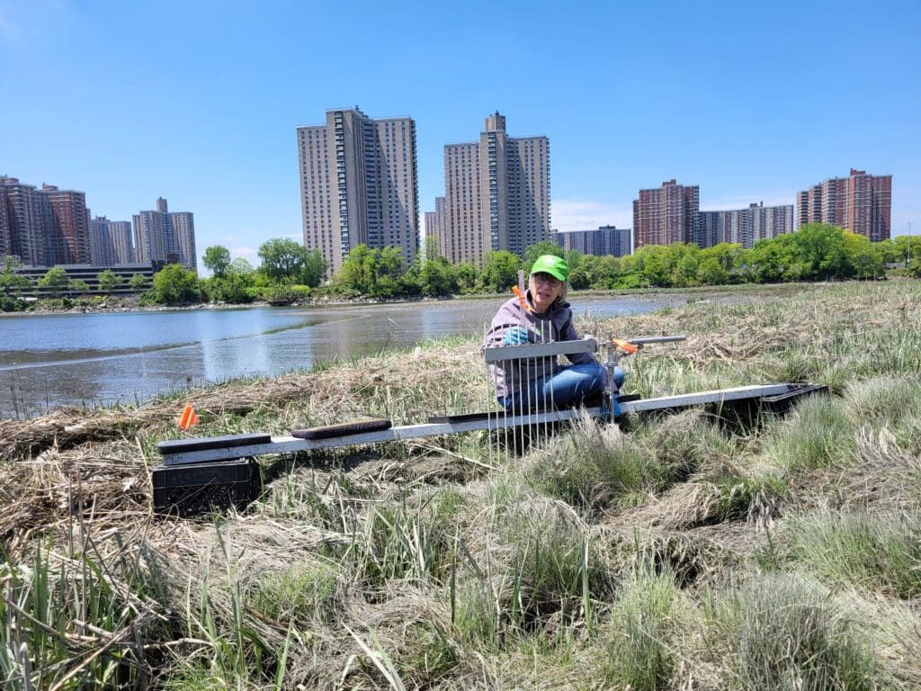
The saltmarsh assessment gets more digital. During the first assessment there were 1,020 acres of saltmarsh across 25 complexes. We want to find out if that number has changed, as saltmarsh is uniquely vulnerable to sea level rise. The crew will complete desktop analysis of extent and elevation change at the same 25 saltmarsh complexes using recent satellite imagery and land surface elevation data. They will also conduct field data collection at six key monitoring sites. Field collection will include assessments of elevation, shear strength, creek erosion, vegetation, and fauna.
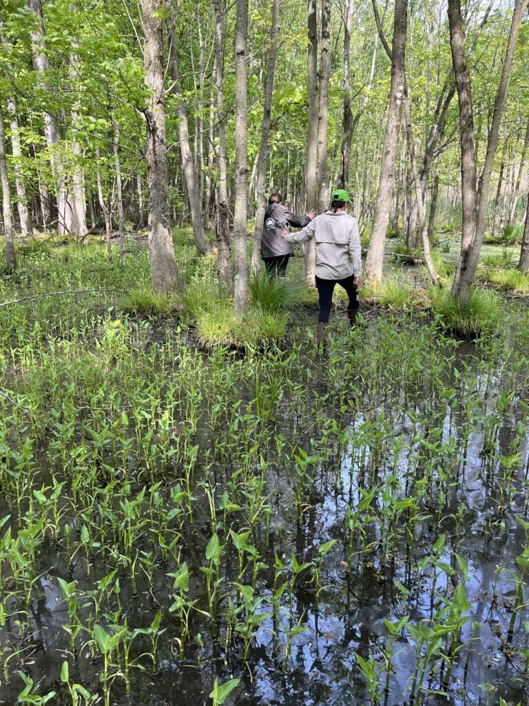
Finally, the freshwater wetland assessment team is piloting an assessment protocol in 2024, and will launch the full assessment in 2025. Similar to the saltmarsh assessment, the team will do both desktop analyses and field data collection, with the goal of evaluating the condition and function of freshwater wetlands in NYC parkland to inform management. To do this, they will conduct a desktop assessment of watershed impacts, then collect field data that focuses on documenting wetland hydrology, vegetation composition, structure, and floristic quality in a plot-based design.
The data collected on our urban natural spaces will allow for a deeper understanding of these ecosystems, which will undoubtedly be useful to the wider community of urban ecologists and forestry practitioners.
After the first EA in 2014, we made recommendations for how these urban natural areas should be managed. This new data will allow us to update our goals and targets for management and restoration for natural areas.
Updated data will allow us to make comparisons to the data we collected a decade ago. This comparison is vital for us to be able to quantify changes in condition and detect emerging threats.
The new data collection will help us make the case for increased protection and management of natural areas and allow us to secure more funding.
Over the course of a year, our team will be hard at work collecting this vital data. Performing a comprehensive assessment of our natural areas in New York City, means that not only can we better understand the environment in which we live, but we can reference powerful up to date facts and statistics in our fight to preserve and protect these areas!
Stay tuned for more updates on the EA and first-hand accounts from our dedicated field staff!
Learn more about the impact of the NAC’s research.
Much can transpire in a decade, especially in a place like New York City. Your favorite bodega is now a boutique candle store. The café on ...
Read more