New York Natural Heritage Program: Classification of Natural Areas Conservancy’s Ecological Assessment Plots
By Gregory J. Edinger, Timothy G. Howard, Matthew D. Schlesinger
By Gregory J. Edinger, Timothy G. Howard, Matthew D. Schlesinger
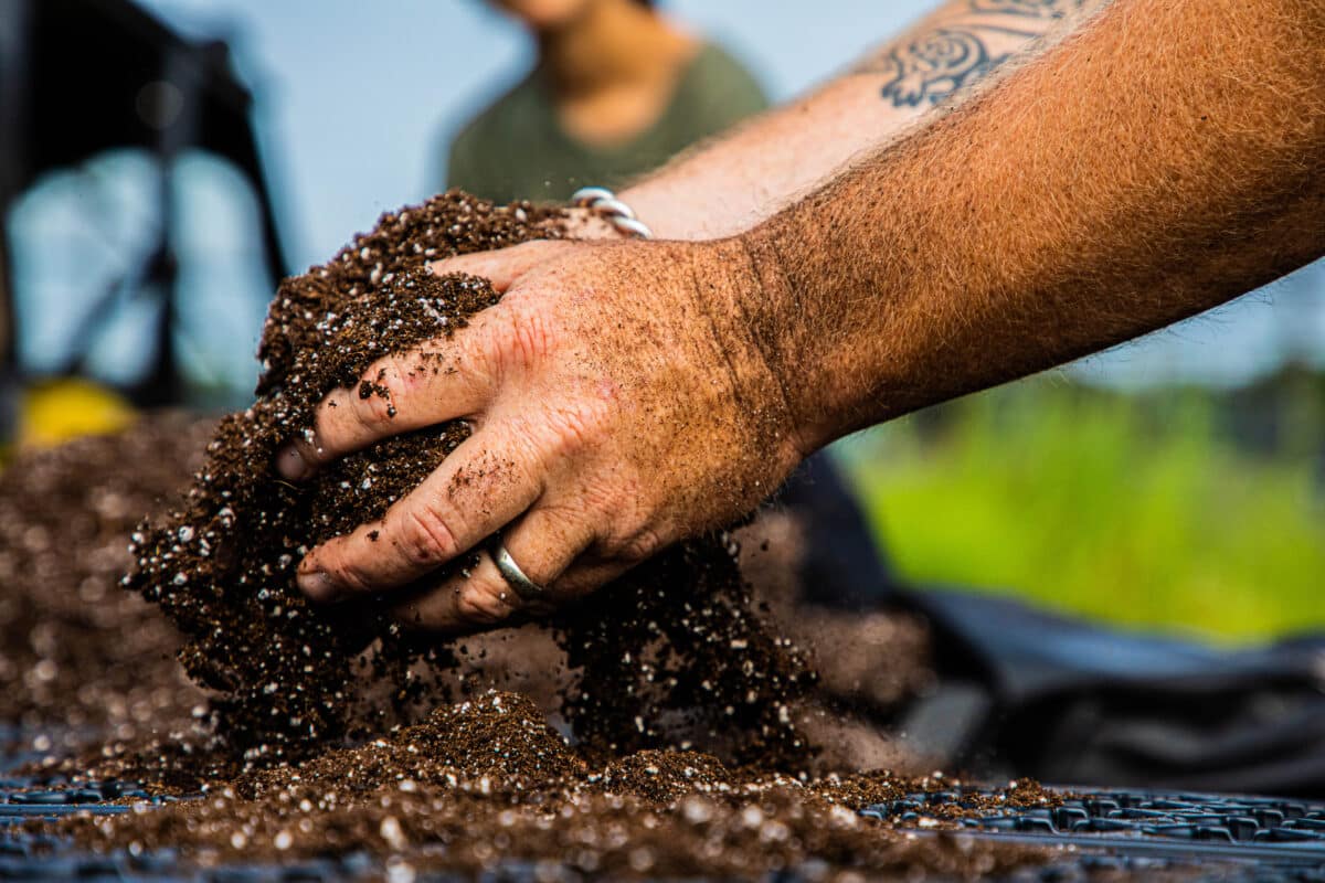
The New York Natural Heritage Program (NYNHP), with the support of NAC, initiated a study to classify 1,183 vegetation plots sampled in 2013 and 2014 as part of the NAC’s citywide assessment of natural area parkland in New York City. The project produced a digital collection of the plots used for this classification effort, in database format, annotated with the vegetation. USNVC assigned and created a list and described each vegetation association documented to be in natural areas based on the plot data, developed a dichotomous field key to the vegetation, describing the process used to assess, analyze, and categorize each plot. These forest and wetland plot data are a tremendous resource for strategic planning and management of New York City’s natural resources. Having them classified to a consistent, robust, internationally recognized vegetation classification system greatly increases their utility.
Read Report(this link opens in new window)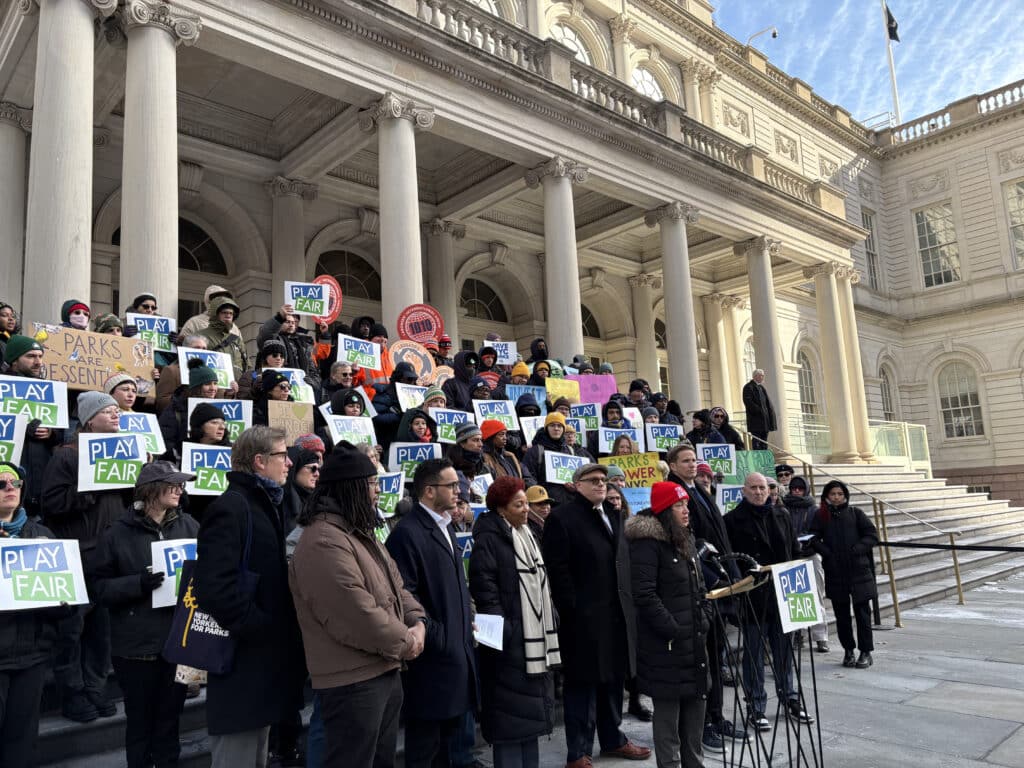
Urban natural areas are crucial for enhancing city livability and environmental health but are often overlooked, underfunded, and missing formal protection, which leads to loss of ecological benefits, missed opportunities for community engagement and nature access, and overall loss of natural areas. Governance structures for urban forested natur...
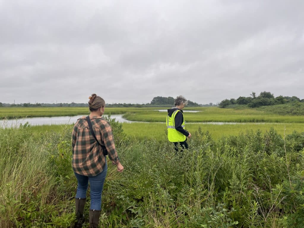
In New York City, tidal wetlands are a critical part of coastal resiliency and provide numerous ecological and social benefits. State and federal wetlands mitigation regulations require that development resulting in wetland impacts offset those losses through wetland creation, restoration, and enhancement – with a ...

This report presents a comprehensive overview of the challenges, benefits, and potential funding sources for urban forested natural areas in the United States. It emphasizes the critical need to diversify funding sources for these underfunded areas, which are distinct from other urban green spaces due to their size, biodiversity, and ...