Urban Ecological Land – Cover Mapping for New York City
By Spatial Informatics Group
By Spatial Informatics Group
An urban ecological land-cover map containing 37 unique classes was created for New York City using object-based imagery analysis (OBIA) techniques in conjunction with multispectral orthoimagery, Light Detection and Ranging (LIDAR) data, and thematic Geographic Information System (GIS) layers. Based on a classification scheme adapted from the United States National Vegetation Classification (NVC), the new map included a mix of ecological and anthropogenic features mapped across four hierarchical levels of detail: 1) basic land cover; 2) land-cover sub-classes; 3) NVC Group; and 4) NVC Association. All ecologically-relevant classes were mapped to the NVC Group level, and a subset of 9 classes were mapped to the NVC Association level. An accuracy assessment conducted on the Level 2 map indicated an overall accuracy of 92%, a high classification rate attributable in part to the efficient mapping of widely-distributed upland forest classes. However, forested wetlands and other uncommon wetland features were mapped with much lower accuracy, suffering particularly from high rates of omission. Insufficient reference data were available to conduct a quantitative accuracy assessment for the Level 3 and Level 4 NVC classes, but the quality of these classes likely varied by data input (i.e., high for classes based on expert opinion, lower for classes based on spectral criteria). The current map will serve as baseline documentation for monitoring and protection of NYC’s most important ecological features, and subsequent versions could be materially improved by advances in wetlands mapping and additional field-based expert opinion.
Read Report(this link opens in new window)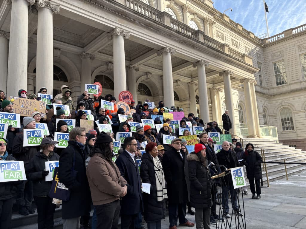
Urban natural areas are crucial for enhancing city livability and environmental health but are often overlooked, underfunded, and missing formal protection, which leads to loss of ecological benefits, missed opportunities for community engagement and nature access, and overall loss of natural areas. Governance structures for urban forested natur...
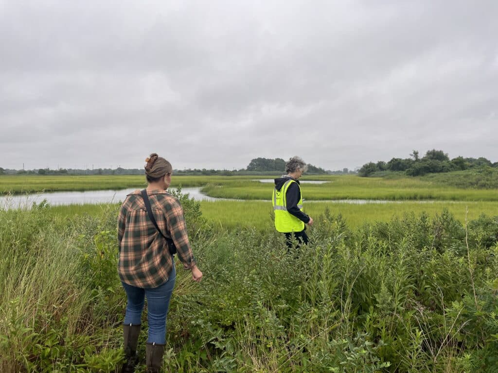
In New York City, tidal wetlands are a critical part of coastal resiliency and provide numerous ecological and social benefits. State and federal wetlands mitigation regulations require that development resulting in wetland impacts offset those losses through wetland creation, restoration, and enhancement – with a ...

This report presents a comprehensive overview of the challenges, benefits, and potential funding sources for urban forested natural areas in the United States. It emphasizes the critical need to diversify funding sources for these underfunded areas, which are distinct from other urban green spaces due to their size, biodiversity, and ...