The Best Trails in Each Borough to Hike on National Trails Day, June 7
By Natural Areas Conservancy on June 05, 2025
By Natural Areas Conservancy on June 05, 2025
 By Mormei Zanke, Communications Manager
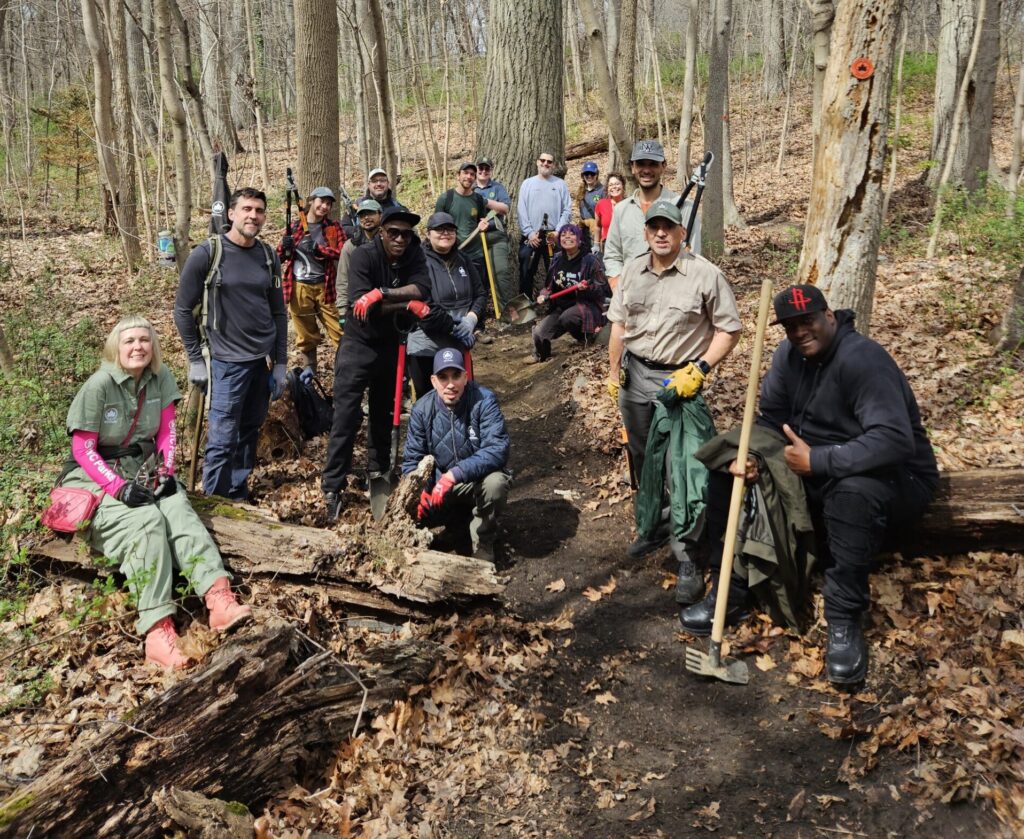
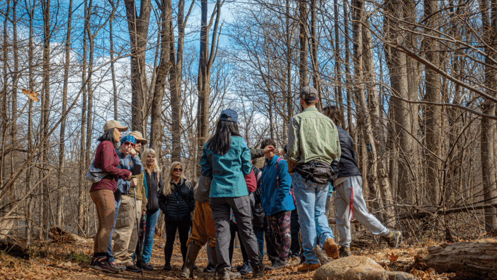
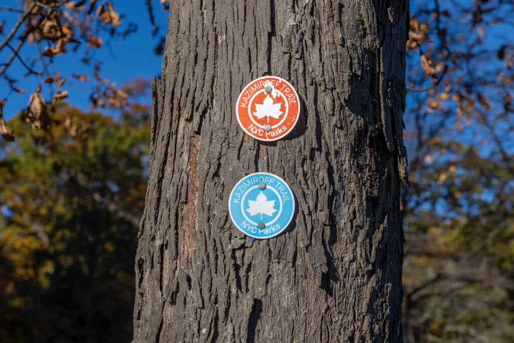
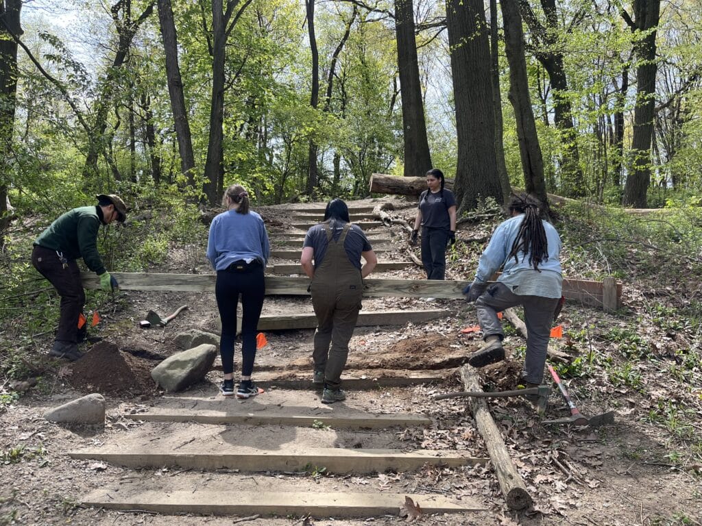
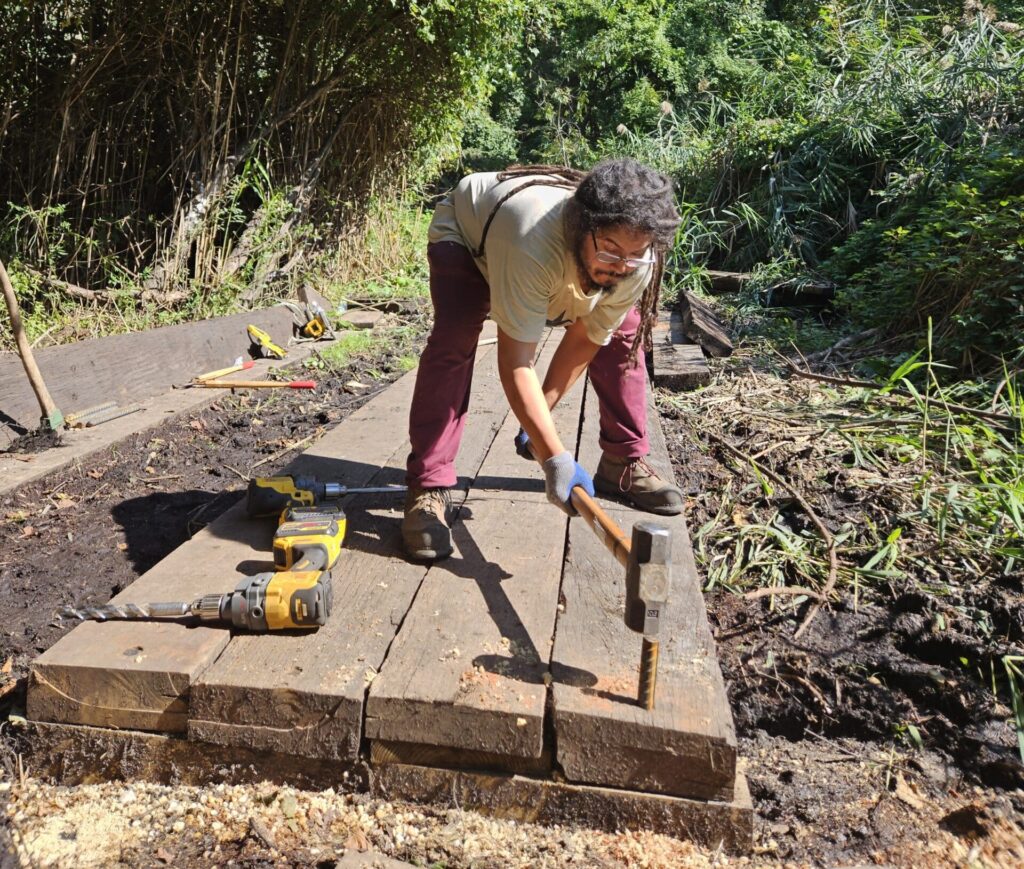
Saturday, June 7 is National Trails Day! We’re thrilled to announce that the Citywide Trails Team has completed formalizing over 250 miles of nature trails across the five boroughs! What does that mean? The NAC, NYC Parks, staff, and volunteers have been diligently maintaining trails, installing trail infrastructure, and “blazing” trails with markers. Since 2017, we’ve been working towards this goal and we’re so proud to have achieved it in time for National Trails Day. Now, millions of New Yorkers can enjoy the nature our city has to offer during the upcoming spring and summer months and beyond! We hope you find some time to explore our trail network in a local park or natural areas near you! Continue reading below for specific trail recommendations for each borough.
🟠 Orange Trail – a 2.4 mile loop that travels beneath the canopy on the perimeter of the forested natural area that’s east of Woodhaven Boulevard, including a section through the historic pine grove.
🔴 Red Trail – a 0.3 mile trail within the natural area south of the Seuffert Bandshell Parking lot that offers views of Strack Pond.
🔴 Red Trail – A 2.2 mile trail that winds through the heart of the forest in the northern section of Latourette Park. From this trail you can take a short detour to the Heyerdahl Hill Ruins, one of the highest points on the eastern coast, or connect with the southern section of Latourette Park or other trails within the Greenbelt.
🔵 Nature Center Trail – A 1.02 mile loop that is a favorite trail for birdwatchers; you’ll be treated to beautiful native trees and wetlands along the way. This trail can be accessed at 2 locations near the Greenbelt Nature Center.
🔴 John Muir Trail – 2 mile route that crosses the park from east to west, offering an escape into the Northeast Forest. The route includes varied terrain and proximity to the Old Croton Aqueduct, where visitors can view a weir and other infrastructure that was constructed and utilized as part of the aqueduct.
🔵 Cass Gallagher Trail – 1.4 mile route through the beautiful North West woods. The terrain varies in slope and difficulty throughout the trail, where it also has multiple points of intersection with the Bridle and Cross Country Trail.
🟡 Putnam Trail – 1.4 mile paved path which connects the Bronx to the South County Trailway in Yonkers.
🔵 Blue Trail – A 1.4 mile paved path through the woods that at times overlaps with the Orange Trail. The Blue Trail offers views of the Hudson River and New Jersey Palisades at Lookout Meadow.
🟠 Orange Trail – A 1.5 mile predominantly paved trail (partially natural surface), that travels through Inwood’s Clove and various points of interest, such as: the Lenape Caves, Glacial Pothole, Cock Hill Fort ruins, Strauss Mansion ruins, Work Project Administration (WPA) stone staircase and Overlook Meadow. This trail has received National Recreation Trail designation.
🔴 Red Trail – This 2.2 mile trail offers access to multiple lookout points, including spots to observe marshland, grassland, and even osprey nests!
🔵 Blue Trail – These trails, which comprise 0.9 miles, intersect the park from east to west at multiple points, offering breathtaking lookout spots—including the popular White Island overlook.
Visit our interactive map of the top 25 parks with nature trails in NYC.
NYC Parks and local conservancies are also hosting events across the city. Happy trails!